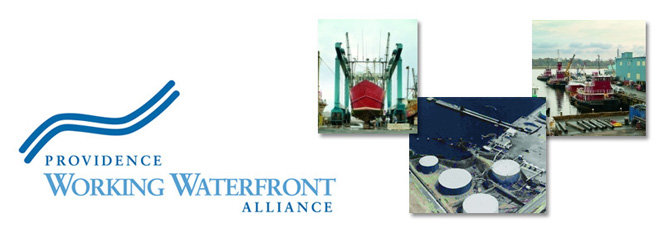
The University of Rhode Island’s Coastal Resource Center/Rhode Island Sea Grant has just announced that they will be conducting an important new study to inventory all of Rhode Island’s port and marine industrial infrastructure and uses. This study is a much needed first step towards creating a strong coordinated statewide policy to protect and promote our working waterfronts.
Rhode Island’s Ports and Commercial Harbors: A GIS Inventory of Current Uses and Infrastructure & Recommendations for Future Enhancement
This project will provide new statewide data that will inform the waterborne freight, marine transportation and land use planning decision making process. It will: 1) Prepare a comprehensive Geographic Information Systems (GIS) based inventory of marine commercial/industrial uses and infrastructure and their current utilization of Rhode Island ports and commercial harbors; and 2) Using inventory data, and input from key stakeholders, make recommendations for future enhancement of marine commercial/industrial uses and infrastructure that can collectively resolve some pressing state issues.
Federal surface transportation legislation calls for joint decision making on a metropolitan level in conducting transportation planning which addresses land use and transportation interactions. In Rhode Island’s shoreline region, port and commercial harbor planning has traditionally occurred in isolated fashion, with little attention paid to the impact of decisions on the economic, environmental and social resources of Narragansett Bay as a whole, the State of Rhode Island, or Southern New England (emphasis added). This study will improve the level of coordination in the planning for the future of RI ports and harbors by bringing relevant data into the decision making process, by providing for stakeholder and expert input into the formulation of specific policy-based recommendations. As with other states, ports and harbors may provide solutions to resolve many of Rhode Island’s future problems including freight transportation, traffic congestion, and economic development, many of which are identified as goals, strategies, policies and objectives in Transportation 2025, Land Use 2025, the Coastal Resources Management Council Marine Resources Development Plan, and others. A comprehensive understanding of Rhode Island’s marine commercial/industrial uses and infrastructure is an essential element of good, proactive, planning. By looking ahead at anticipated transportation-related problems, Rhode Island can make better use of the unique resources represented by its ports and commercial harbors and their connections to the greater marine transportation system.
For more information on this project or to join the listserv, please contact Austin Becker at abecker@crc.uri.edu.
